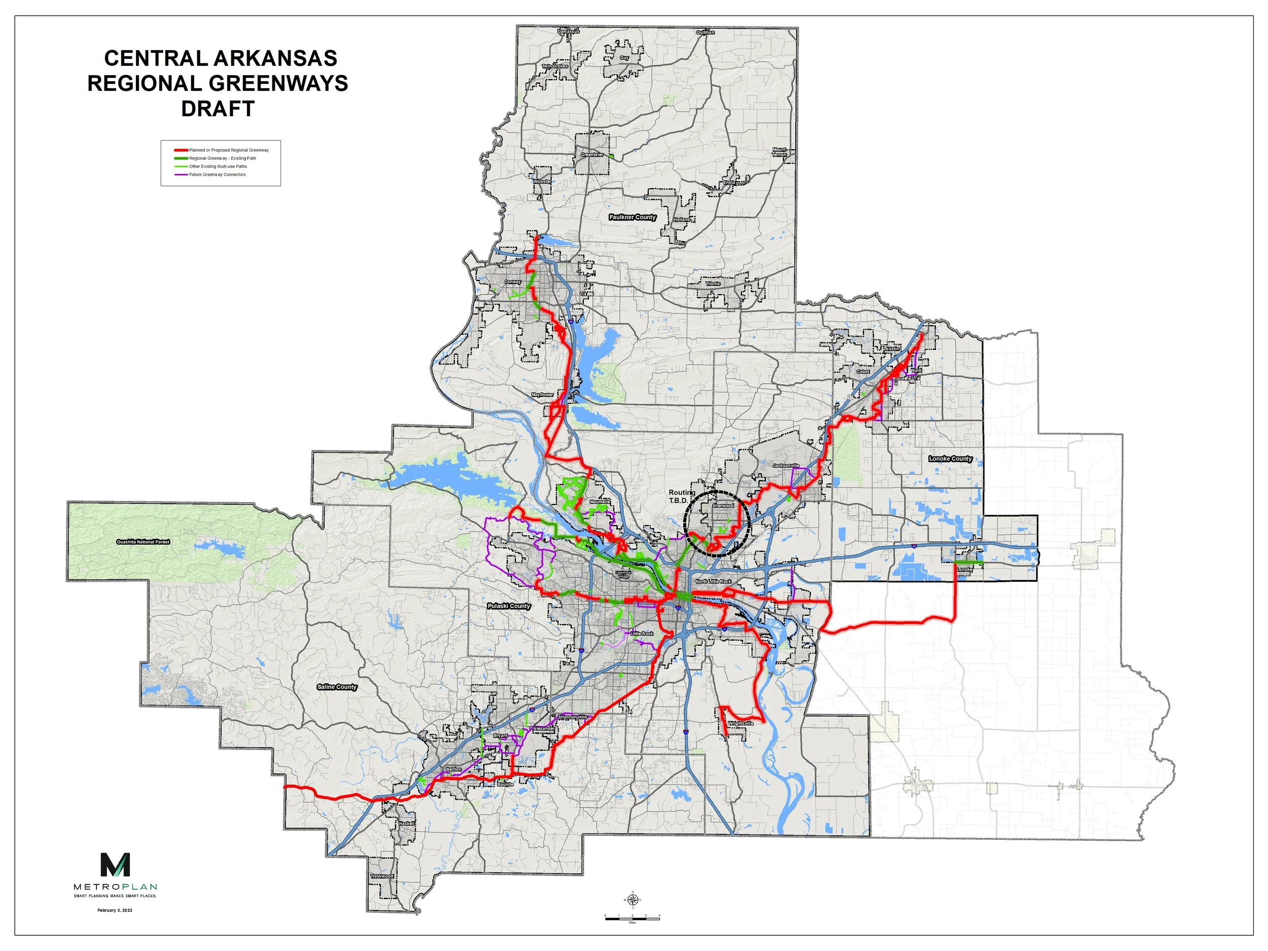
Greenways Plan Map
What is a greenway?
A greenway is a large, paved path, measuring between 12 and 14 feet wide, that is physically separated from a street. Think of it as a mini road only for walkers and bike riders or other non-motorized vehicles.
Greenways will often follow waterways and other natural environments not accessible to cars, but sometimes follow alongside roadways. The Central Arkansas greenways will be separated paths, with some exceptions where on-street bicycle lanes may be necessary.

View the interactive map.
This map of Central Arkansas’s Regional Greenway Network is preliminary. Adjustments to these alignments is possible. Portions of the Northeast Corridor are under study. A connection through Sherwood will be added in the future. Click on any greenway route to display information, such as the corridor and proposed facility type. Use the icon at the top left of the screen to display the map legend.